Schools
UGA Researchers Use Remote Sensing Technologies to Track Coastal Change
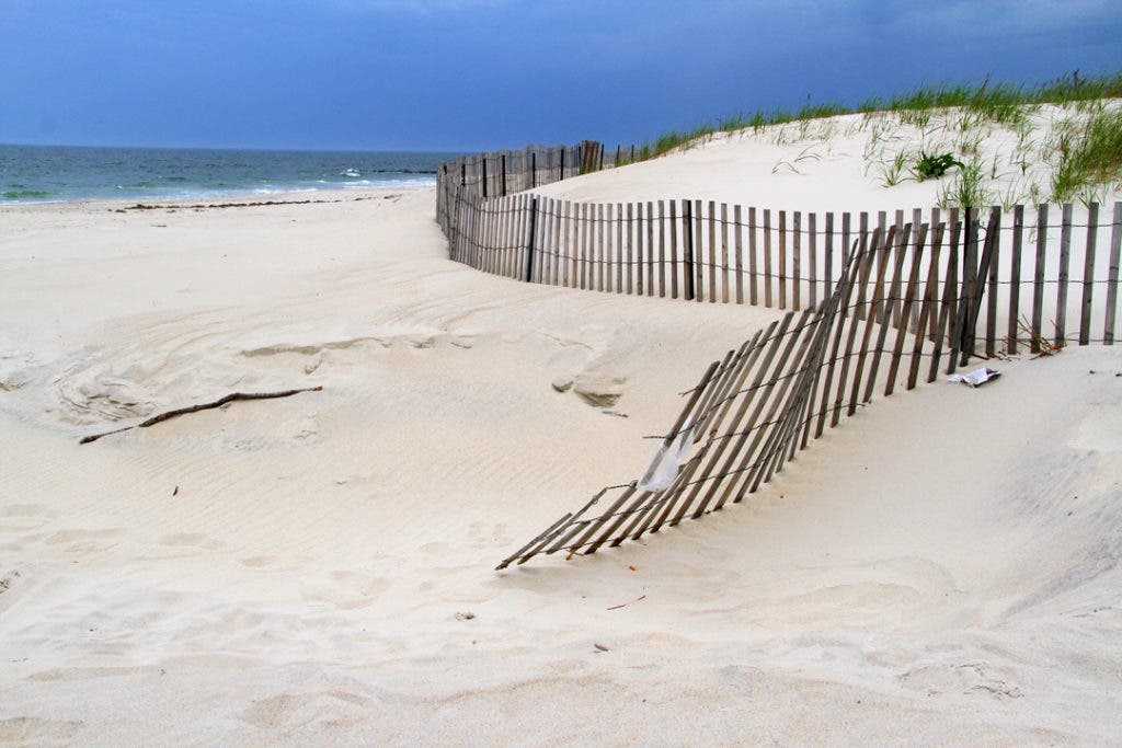
UGA researchers recently developed maps based on remote sensing technologies and coastal data that shows shifts in sands and tides.

New research at the University of Georgia may soon make it easier to manage and conserve beaches.
UGA researchers recently combined several remote sensing technologies with past coastal data to create maps which show the shifts in sands and tides. This information can make it easier for conservationists and recreation developers to determine the amount of beach available for a variety of uses.
Find out what's happening in Athenswith free, real-time updates from Patch.
Much of the data used for the study centered around Jekyll Island, some of which dated back to 1857. Some of the data allowed researchers to create models showing how Jekyll Island would fare under hypothetical tropical storms or changes in sea level.
Researchers said that balancing between the needs of tourism, conservation and development could be less of a challenge if people were provided with accurate information. Scientists hope the research will help authorities make better decisions about coastal areas.
Find out what's happening in Athenswith free, real-time updates from Patch.
Get more local news delivered straight to your inbox. Sign up for free Patch newsletters and alerts.